Save the dates
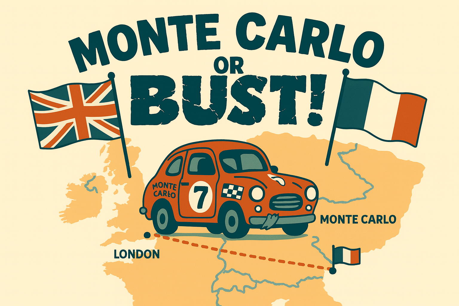
29th May – 6th June 2026
The main Route page is the headline overview. This page explains why we’re taking these roads: a convoy-friendly, toll-free approach that keeps costs down, reduces stress in £1,000 cars, and makes the journey feel like the adventure it should be.
We’ve chosen roads that keep the convoy moving, minimise tolls, and still deliver the views that make this trip special. Below you’ll see a few example photos in context on the most relevant days.
~181 miles | ~5.5–6 hrs (including ferry crossing and disembarkation)
Route: Holyport to Dover, ferry to Calais, then south to Le Touquet-Paris-Plage.
Why this works: A relaxed opening day that gets everyone into France without overloading the first leg of the trip. Once in Le Touquet, we also hope to meet some of the Aerobility team who will be flying out to join us, giving us a great chance to take some photos together and mark the start of the adventure in style.
~232 miles | ~6 hrs
Route: Le Touquet → D940/D144 inland → D901/D1001 towards Abbeville → brief A28 link → scenic D-road run via Lyons-la-Forêt → Évreux → N12 corridor → into Le Mans from the north.
Why this works: A full but rewarding driving day, combining fast open sections with some more scenic, flowing rural roads through Normandy. It keeps things interesting without relying on toll motorways, giving a great balance of progress and enjoyment behind the wheel.
We are also hoping to arrange a stop at the iconic Le Mans circuit for photos, with an optional visit to the Le Mans museum for those who want to make the most of being there.
~252 miles | ~6 hrs 15 mins
Route: Le Mans → D307/D767 south towards Saumur → D749 corridor → rural D-roads via Loudun and Poitiers → N147 towards Limoges → optional detour to Oradour-sur-Glane → onward via D901 into Brive-la-Gaillarde.
Why this works: A varied and engaging day, starting with flowing roads through the Loire region before opening out into faster sections further south. It avoids toll roads while still making solid progress, with a mix of scenery and driving enjoyment.
There is an optional detour to Oradour-sur-Glane, a preserved WWII memorial village left exactly as it was after being destroyed in 1944. It’s a powerful and moving place to visit, and something quite unique on the route.
~346 miles | ~8 hrs 45 mins
Route (toll-free & varied terrain): Brive → D921/D1120 through the Corrèze countryside → D920 toward Rodez → D988 across the Aubrac plateau → N106 south through the Cévennes → N7/D900 east toward Provence → finishing into Digne-les-Bains.
Why this works: This is one of the true “journey” days of the rally — long, varied, and unforgettable. The route cuts through some of the most diverse landscapes in France, starting in the rolling countryside of the Dordogne and Corrèze before climbing onto the wild, open plateaus of the Massif Central. From there, it transitions into the dramatic Cévennes mountains, with sweeping roads, valleys, and gorges, before finally dropping into the warmer, more Mediterranean feel of Provence as you approach Digne.
This is the longest and most demanding day of the rally, but one that rewards the effort with constantly changing scenery and roads that feel purpose-built for a trip like this — all while avoiding toll motorways and keeping the convoy experience intact. It also gets us closer to Monte Carlo so that we have more time to explore and get pictures in our iconic destination.
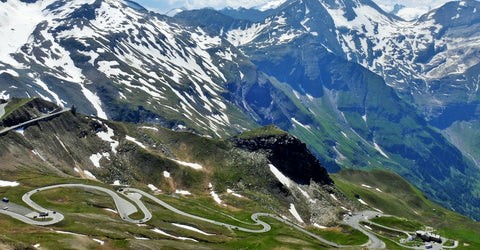
~117 miles | ~3 hrs 30 mins (plus stops in Monaco)
Route – the iconic one: Digne → Route Napoléon (N85) → N202 through the mountains → descent into Nice → coastal run along the Promenade des Anglais (M6098) → D6007 into Monaco → through Monte Carlo → return via the coastal road to Nice.
Why this works: This is the payoff day — one of the most famous driving routes in Europe followed by a true Monaco arrival. The Route Napoléon delivers sweeping mountain roads, elevation changes, and incredible views before dropping you down to the Côte d’Azur and the Mediterranean.
Once in Monte Carlo, there are a few must-do moments:
After taking it all in (and getting plenty of photos), we continue along the coast back to Nice for the overnight stay.
This is a shorter driving day on paper, but one that’s all about the experience — expect plenty of stops, photos, and a proper sense of arrival.
~200 miles | ~5 hrs 30 mins
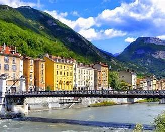
Route: Nice → M6202 north out of the city → N202 through the Var valley → join the Route des Grandes Alpes → connect with the Route Napoléon (N85) → continue north via Gap → D1075 into Grenoble.
Why this works: This is a true Alpine driving day, but without the extreme high passes. Instead, the route follows historic and scenic valleys used for centuries to cross the Alps, offering long flowing roads, dramatic rock formations, and constant elevation changes.
The early section out of Nice follows the Var river valley, gradually climbing away from the Mediterranean before opening out into wider mountain landscapes. From there, the route links into some of the most famous driving roads in France — including parts of the Route des Grandes Alpes and Route Napoléon — before heading north toward Grenoble.
Compared to the previous day, this feels cooler, greener, and more “Alpine”, with a strong sense of transition from the Riviera back into the mountains.
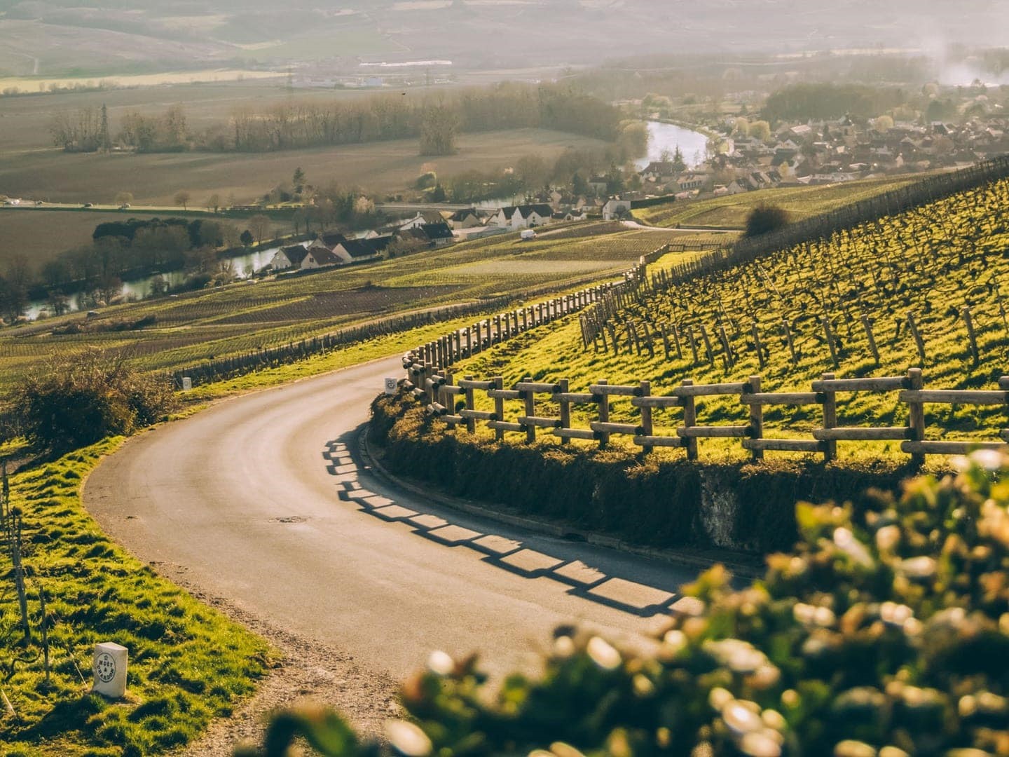
~284 miles | ~7 hrs 20 mins
Route: Grenoble → D1075 north-west out of the Alps → D1085/D1075 rolling through Isère countryside → Bourg-en-Bresse → D996 across the Bresse plains → N73/D673 toward Dole → D973 north via Dijon → D996 and smaller D-roads through Champagne countryside → into Saint-Dizier.
Why this works: This is a transition day — moving from the mountains back toward northern France — but it still offers plenty of variety. The route starts with a final stretch of Alpine foothills before opening out into faster, flowing roads across eastern France.
We will pass through the Bresse region (known for its farmland and open roads), then into Burgundy, where vineyards and rolling countryside begin to appear. As the day progresses, the landscape flattens further into the Champagne region, with long straights and quieter roads making it easier to cover distance without using toll motorways.
~246 miles | ~6 hrs 15 mins
Route: Saint-Dizier → D1044 north-west → via the Reims / Laon region → N31 / D1001 corridor → final run north to Calais.
Why this works: This is a solid progress day heading back toward the UK, using fast, flowing non-toll roads that allow the convoy to cover ground efficiently. The route passes through the Champagne region early on before opening into the wide, open landscapes of northern France, making for straightforward and relaxed driving compared to the mountain days earlier in the trip.
⭐ Optional Stop – Somme War Memorials
For those who want to add something meaningful to the journey, there is an optional detour to the Somme battlefields, one of the most important WW1 areas in the world.
The chosen option is:
👉 Detour impact:
Those who prefer a more direct run can skip this stop and continue straight to Calais, where we will regroup later in the day.
🍷 Rally Tradition
As we approach Calais, this is the perfect opportunity to take advantage of the border shopping tradition — stocking up on beer, wine, and other essentials before heading back to the UK.
~139 miles (UK side)
Route: Ferry crossing from Calais → Dover → M20 / M25 / M4 corridor → return to Holyport.
Why this works: A straightforward final leg back to the UK, giving everyone time to reflect on the journey and enjoy the last stretch of driving together before the finish.
🎉 Finish & Celebrations
We’ll be arriving back into Holyport in time for the Holyport Fair, where we’ve been kindly given 5 minutes on the main stage to talk about the trip, share some highlights, and encourage further donations from those attending.
After that, the plan is to gather for a final meal and drinks on the green at one of the local pubs (venue TBC) — a chance to celebrate the adventure, swap stories, and round things off properly before everyone heads their separate ways.